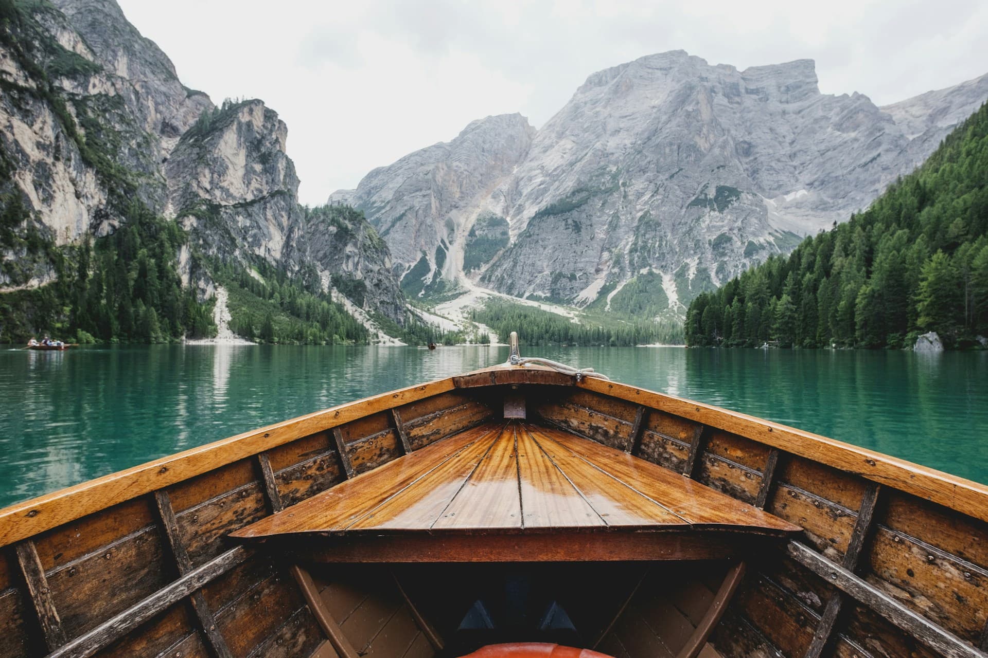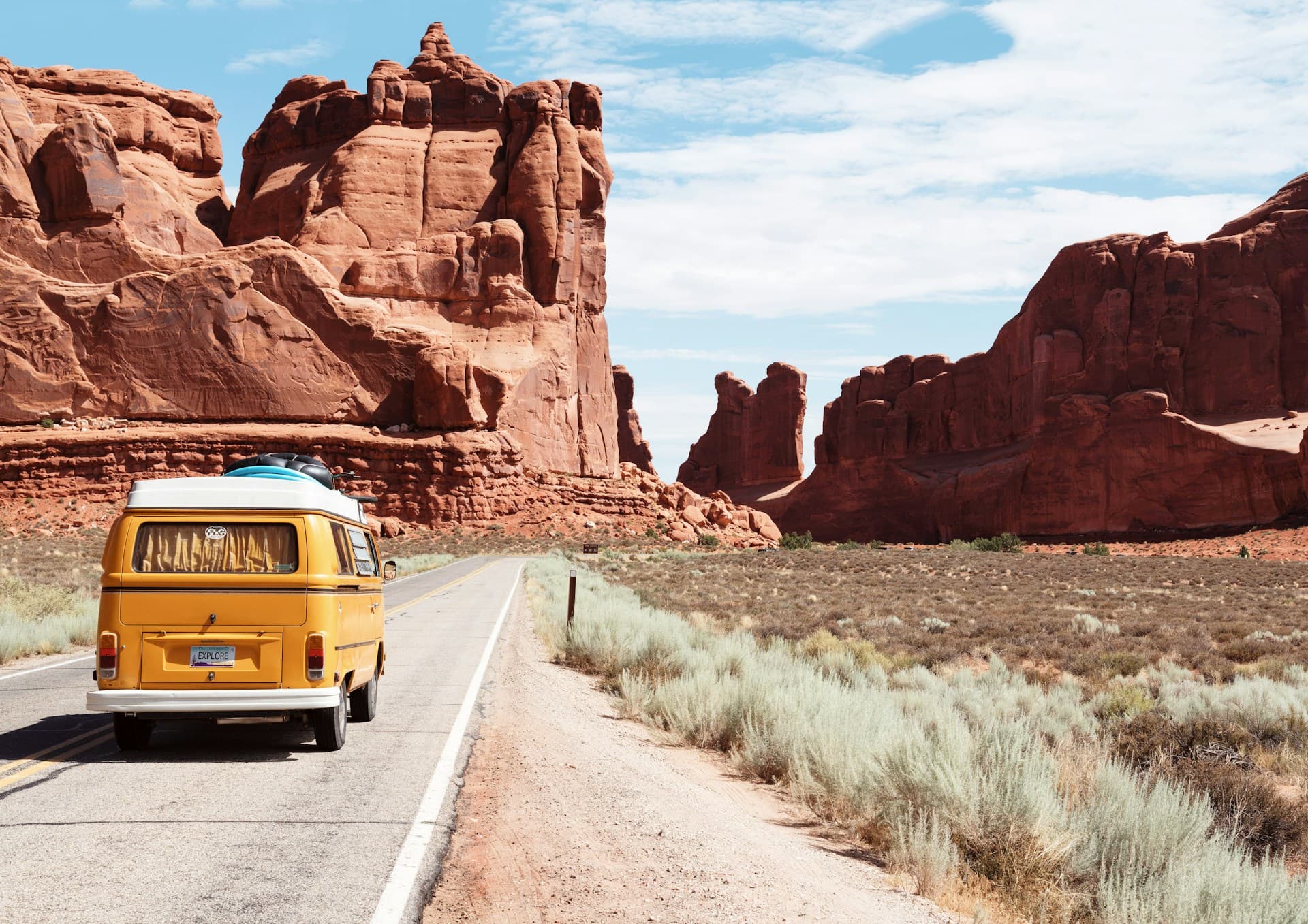
The Open Road Is Still America's Greatest Adventure
The United States has over 4 million miles of paved roads, and some of the best travel experiences in the country happen between destinations rather than at them. From coastal highways where the Pacific crashes against sea cliffs to desert straightaways that vanish into the horizon, American road trips offer a kind of freedom that no flight itinerary can match. This guide covers 25 of the best routes, with real distances, fuel cost estimates, accommodation breakdowns, and the must-stop towns that most travelers blow right past.
Before You Hit the Road: Cost Baselines
All fuel estimates in this guide assume an average vehicle getting 28 miles per gallon and a national average gas price of $3.50 per gallon (as of early 2026). Rental car costs assume booking through Costco Travel, AutoSlash, or directly with major agencies during non-peak periods. Campsite costs reference federal recreation areas (recreation.gov) and state parks.
1. Pacific Coast Highway (California)
Route: San Francisco to San Diego (or reverse)
Distance: 740 miles
Recommended Duration: 5 to 7 days
Fuel Cost Estimate: $92
Best Season: April through October
The PCH (primarily Highway 1 through Big Sur, merging with US-101 in sections) is the benchmark against which all American coastal drives are measured. The Big Sur section between Carmel and San Simeon delivers 90 miles of cliff-hugging road above the Pacific, with stops at Bixby Creek Bridge, McWay Falls (an 80-foot waterfall landing on a beach), and Hearst Castle ($25 admission).
Must-Stop Towns: Half Moon Bay, Santa Cruz, Carmel-by-the-Sea, Big Sur, San Luis Obispo, Santa Barbara, Malibu
Camping: Kirk Creek Campground in Big Sur ($35/night, book on recreation.gov months ahead); Morro Bay State Park ($35 to $50/night)
Hotel Budget: $150 to $300/night in Big Sur; $100 to $200/night along the central coast
2. Route 66 (Chicago to Santa Monica)
Route: Chicago, IL to Santa Monica, CA
Distance: 2,448 miles (following the historic alignment)
Recommended Duration: 10 to 14 days
Fuel Cost Estimate: $306
Best Season: March through May, September through November
The "Mother Road" crosses eight states and three time zones. While the original highway has been largely replaced by Interstate 40, the historic alignment survives in long stretches through Illinois, Missouri, Oklahoma, Texas, New Mexico, and Arizona. The experience is as much about Americana -- roadside diners, neon signs, abandoned gas stations -- as it is about scenery.
Must-Stop Towns: Pontiac (IL), Springfield (IL), Joplin (MO), Amarillo (TX), Santa Fe (NM), Gallup (NM), Winslow (AZ), Oatman (AZ)
Key Attractions: Cadillac Ranch (Amarillo), Petrified Forest National Park, Painted Desert, Blue Whale of Catoosa (OK), Santa Monica Pier
Camping: Average $20 to $35/night at state parks along the route
Hotel Budget: $70 to $120/night in small towns; $150+ in Santa Fe and Flagstaff
3. Blue Ridge Parkway
Route: Waynesboro, VA to Cherokee, NC
Distance: 469 miles
Recommended Duration: 3 to 5 days
Fuel Cost Estimate: $59
Best Season: October (peak foliage) or May through June (wildflowers and rhododendrons)
America's most visited national parkway connects Shenandoah National Park to Great Smoky Mountains National Park along the crest of the Appalachian Mountains. The 45 mph speed limit is enforced and intentional -- this road is designed for slow travel. Over 200 overlooks provide views of layered mountain ridges receding into blue haze.
Must-Stop Towns: Staunton (VA), Roanoke (VA), Floyd (VA), Blowing Rock (NC), Asheville (NC), Brevard (NC)
Key Attractions: Mabry Mill (milepost 176), Linn Cove Viaduct (milepost 304), Craggy Gardens (milepost 364), Biltmore Estate in Asheville ($75 admission)
Camping: Numerous NPS campgrounds along the parkway ($20 to $30/night); Doughton Park and Julian Price Memorial Park are standouts
Hotel Budget: $100 to $180/night; Asheville hotels run $150 to $350
4. Going-to-the-Sun Road (Montana)
Route: West Glacier to St. Mary (Glacier National Park)
Distance: 50 miles
Recommended Duration: 1 full day (combine with 3 to 5 days in Glacier NP)
Fuel Cost Estimate: $6
Best Season: Late June through mid-September (road is closed in winter)
This 50-mile engineering marvel crosses the Continental Divide at Logan Pass (6,646 feet) through Glacier National Park. The road is narrow, carved into mountainsides, and features sheer drop-offs without guardrails in sections. Vehicle length restrictions apply (no vehicles over 21 feet including tow). A vehicle reservation ($2) is required from late May through early September -- book at recreation.gov the moment they open.
Must-Stop Points: Lake McDonald, The Loop, Logan Pass (arrive before 8 AM to find parking), Wild Goose Island Overlook, St. Mary Lake
Camping: Apgar Campground ($30/night, first-come first-served); Fish Creek Campground ($30/night, reservable)
Hotel Budget: $200 to $400/night inside the park; $120 to $200 in Whitefish or Kalispell
5. Overseas Highway (Florida Keys)
Route: Miami to Key West
Distance: 165 miles
Recommended Duration: 1 to 3 days
Fuel Cost Estimate: $21
Best Season: November through April (dry season; avoids hurricane season)
US-1 through the Florida Keys crosses 42 bridges, including the Seven Mile Bridge -- one of the longest bridges in the world. The drive offers open-ocean views on both sides, with the Atlantic to the east and the Gulf of Mexico to the west. Key West itself is the southernmost point in the continental US, just 90 miles from Cuba.
Must-Stop Towns: Key Largo (John Pennekamp Coral Reef State Park), Islamorada (sportfishing capital), Marathon (Turtle Hospital, $27 admission), Big Pine Key (Key deer), Key West
Camping: Bahia Honda State Park ($36/night for a tent site, one of the best beach campgrounds in the US -- book 11 months ahead)
Hotel Budget: $150 to $250/night in the middle Keys; $200 to $500/night in Key West during peak season
6. Utah's Mighty 5
Route: Loop connecting Arches, Canyonlands, Capitol Reef, Bryce Canyon, and Zion National Parks
Distance: Approximately 900 miles (loop from Salt Lake City)
Recommended Duration: 7 to 10 days
Fuel Cost Estimate: $113
Best Season: March through May, September through November
This loop hits all five of Utah's national parks plus stunning connector roads through Monument Valley, Grand Staircase-Escalante, and Highway 12 (regularly ranked among America's most scenic roads). Highway 12 between Escalante and Torrey features sections where the road runs along a narrow ridge with drop-offs on both sides.
Must-Stop Towns: Moab, Torrey, Escalante, Springdale, Kanab
Camping: NPS campgrounds from $20 to $35/night; BLM dispersed camping is free in many areas near Moab and Escalante
Hotel Budget: $100 to $200/night in Moab and Springdale; budget motels in smaller towns from $70
7. Great River Road
Route: Lake Itasca, MN to Venice, LA (following the Mississippi River)
Distance: 3,000 miles
Recommended Duration: 10 to 14 days
Fuel Cost Estimate: $375
Best Season: May through October
The Great River Road follows the Mississippi River from its source at Lake Itasca in Minnesota to the Gulf of Mexico in Louisiana, passing through 10 states. This is deep-heartland America: small river towns, bluff-top views, delta blues heritage, and a gradually shifting landscape from northern forests to southern bayou country.
Must-Stop Towns: Red Wing (MN), La Crosse (WI), Galena (IL), Hannibal (MO), Memphis (TN), Natchez (MS), New Orleans (LA)
Key Attractions: Vicksburg National Military Park (free), Graceland in Memphis ($45), French Quarter in New Orleans
Camping: State parks along the river average $20 to $35/night
Hotel Budget: $80 to $150/night in small towns; $150 to $250 in Memphis and New Orleans
8. Beartooth Highway (Montana/Wyoming)
Route: Red Lodge, MT to Cooke City, MT (northeast entrance of Yellowstone)
Distance: 68 miles
Recommended Duration: Half a day to a full day
Fuel Cost Estimate: $9
Best Season: Late May through mid-October (closed in winter)
Charles Kuralt called this "the most beautiful drive in America." The road climbs to 10,947 feet at Beartooth Pass, the highest paved road in Montana. Switchbacks ascend through alpine tundra above the tree line, past glacial lakes, snowfields (even in July), and wildflower meadows. Combine with a trip to Yellowstone through the northeast entrance.
Must-Stop Points: Rock Creek Vista Point, Beartooth Pass summit, Island Lake, Beartooth Lake
Camping: Island Lake Campground ($15/night), Beartooth Lake Campground ($15/night) -- first-come first-served
Hotel Budget: $100 to $160 in Red Lodge; limited options in Cooke City ($120 to $200)
9. Hana Highway (Maui, Hawaii)
Route: Kahului to Hana
Distance: 64 miles
Recommended Duration: 1 full day (start early)
Fuel Cost Estimate: $8
Best Season: Year-round; April through September for drier conditions
The Road to Hana features 620 curves and 59 bridges (most of them one-lane) through tropical rainforest. Waterfalls cascade beside the road, black sand beaches hide down short trails, and the vegetation is so dense it forms a canopy over the highway in sections.
Must-Stop Points: Twin Falls (mile marker 2), Ke'anae Peninsula (mile marker 17), Wai'anapanapa State Park (black sand beach, reservation required at $5/car), Hana town, Pipiwai Trail (4 miles round trip to 400-foot Waimoku Falls)
Camping: Wai'anapanapa State Park cabins ($90/night, book months ahead through hawaiistateparks.org)
Hotel Budget: $300 to $600/night at Hana-Maui Resort; budget options are extremely limited
10. Tail of the Dragon (Tennessee/North Carolina)
Route: Deals Gap to Robbinsville, NC (US-129)
Distance: 11 miles
Recommended Duration: 30 minutes to an hour (but budget a half day for multiple runs and photography)
Fuel Cost Estimate: $2
Best Season: April through October
With 318 curves in 11 miles, the Tail of the Dragon is the most famous driving road in the eastern United States. It is a magnet for sports car and motorcycle enthusiasts. The road has no intersections, no driveways, and no commercial development -- just continuous S-curves through the Smoky Mountains. A professional photographer at the "Dragon's Lair" captures every vehicle passing through.
Must-Stop Points: Deals Gap Motorcycle Resort (starting point, general store and lodge), Calderwood Dam overlook, Cheoah Dam (where Harrison Ford jumped in "The Fugitive")
11-15: Quick-Reference Routes
| Route | Start/End | Distance | Days | Fuel | Best Season |
|---|---|---|---|---|---|
| Acadia Loop (ME) | Bar Harbor loop | 60 mi | 2-3 | $8 | Sep-Oct |
| Natchez Trace Parkway | Nashville, TN to Natchez, MS | 444 mi | 3-4 | $56 | Mar-May, Oct |
| Olympic Peninsula Loop (WA) | Seattle loop | 600 mi | 5-7 | $75 | Jun-Sep |
| Million Dollar Highway (CO) | Ouray to Silverton | 25 mi | Half day | $3 | Jun-Oct |
| Kancamagus Highway (NH) | Lincoln to Conway | 34 mi | Half day | $4 | Late Sep-Oct |
16-20: Western Wonders
16. Death Valley to Yosemite (California)
Distance: 300 miles | Duration: 3 to 5 days | Fuel: $38
This route takes you from the lowest point in North America (Badwater Basin at -282 feet) to the Sierra Nevada high country. The contrast between Death Valley's salt flats and Yosemite's granite walls and waterfalls is staggering. Drive through Tioga Pass (Highway 120, open June through October) for the most scenic Sierra crossing.
17. San Juan Skyway (Colorado)
Distance: 236 miles loop | Duration: 2 to 3 days | Fuel: $30
This loop through the San Juan Mountains of southwest Colorado connects Durango, Silverton, Ouray, Telluride, and Cortez. It includes the Million Dollar Highway and passes through old mining towns at elevations above 10,000 feet. The Durango and Silverton Narrow Gauge Railroad ($100 round trip) runs parallel to part of the driving route.
18. Extraterrestrial Highway (Nevada)
Distance: 98 miles (Highway 375) | Duration: Half day as part of a longer trip | Fuel: $12
Nevada's Highway 375 runs through the desert near Area 51. The road is almost perfectly straight, with virtually no services, and offers views of distant mountain ranges across alkali flats. Stop at the Little A'Le'Inn in Rachel (the only business for 100+ miles) for an alien burger and alien-themed souvenirs. Combine with a visit to Cathedral Gorge State Park.
19. Cascade Loop (Washington)
Distance: 440 miles | Duration: 3 to 5 days | Fuel: $55
This loop from Seattle crosses the North Cascades Highway (Highway 20), passes through the Bavarian-themed village of Leavenworth, follows the Columbia River, and returns through Whidbey Island. The North Cascades section features dramatic granite peaks and turquoise alpine lakes. The highway is closed November through April.
20. Highway 1 (Big Island, Hawaii)
Distance: 250-mile loop | Duration: 3 to 5 days | Fuel: $31
The loop around Hawaii's Big Island passes through nearly every climate zone on Earth: tropical beaches, volcanic deserts, rainforest, and snow-capped mountains. Highlights include Hawaii Volcanoes National Park ($30/vehicle), Waipio Valley, and the Kohala Coast's resort beaches.
21-25: Southern and Eastern Classics
21. Savannah to Charleston Coastal Route
Distance: 110 miles via US-17 | Duration: 2 to 4 days (with stops) | Fuel: $14
The Lowcountry route between two of America's most beautiful cities passes through Beaufort, SC, and the ACE Basin wildlife refuge. Spanish moss, tidal marshes, and antebellum architecture line the route.
22. Skyline Drive (Virginia)
Distance: 105 miles | Duration: 1 to 2 days | Fuel: $13
Shenandoah National Park's spine road runs along the Blue Ridge crest with 75 overlooks. Park entrance is $30 per vehicle. The 35 mph speed limit keeps the pace meditative. Connect to the Blue Ridge Parkway at the southern end for an extended journey.
23. Highway 12 (Utah)
Distance: 122 miles (Bryce Canyon to Capitol Reef) | Duration: 1 to 2 days | Fuel: $15
Often called the most scenic road in America, Highway 12 passes through Red Canyon, over the Hogback (a narrow ridge with 1,000-foot drop-offs on both sides), through the artsy town of Boulder, and over Boulder Mountain at 9,400 feet.
24. Seward Highway (Alaska)
Distance: 127 miles (Anchorage to Seward) | Duration: 1 to 2 days | Fuel: $16
This National Scenic Byway follows Turnagain Arm (watch for beluga whales and bore tides), passes through the Chugach Mountains, and ends in the coastal town of Seward, gateway to Kenai Fjords National Park. Exit Glacier is a short drive from Seward.
25. The Loneliest Road (US-50, Nevada)
Distance: 287 miles across Nevada | Duration: 1 to 2 days | Fuel: $36
Life Magazine called US-50 across Nevada "The Loneliest Road in America." The highway crosses basin-and-range terrain through Austin, Eureka, and Ely -- former mining towns with a combined population under 10,000. The solitude is the point. Carry extra water and fuel; services are sparse.
Rental Car Tips for USA Road Trips
- Best aggregators: Costco Travel (members only, no cancellation fees), AutoSlash.com (tracks price drops and rebooks automatically), and Kayak
- Insurance: Your personal auto insurance and many credit cards (Chase Sapphire Reserve, Amex Platinum) cover rental car damage; check your policy before buying the CDW at the counter
- One-way fees: Can range from $50 to $500 depending on the route; booking early reduces the cost. Some companies (Enterprise, National) waive one-way fees on popular routes
- Fuel: Fill up when you pass a gas station in rural areas, especially in Nevada, Utah, and Alaska where the next station can be 100+ miles away
- Toll roads: Bring a transponder or use the rental company's toll pass (typically $5 to $10/day). The Northeast Corridor (I-95) has the most tolls
Let TripGenie Build Your Road Trip Itinerary
A great road trip needs more than a route -- it needs timing. TripGenie can help you structure your driving days, find the best overnight stops, balance driving time with sightseeing, and estimate total costs including fuel, accommodation, and park entrance fees. Whether you are planning a 3-day Blue Ridge Parkway autumn drive or a 2-week Route 66 odyssey, TripGenie takes the guesswork out of the planning so you can focus on the open road.
Final Checklist Before You Go
- Vehicle inspection: Tires, oil, coolant, brakes, spare tire pressure
- Emergency kit: Jumper cables, flashlight, first aid kit, reflective triangles
- Navigation: Download offline maps (Google Maps or Maps.me) for areas with no cell service
- Music and podcasts: Download everything before you leave -- many of the best roads have zero cell reception
- Snacks and water: Stock up at Costco or Walmart before departing; gas station prices are 2 to 3 times higher
- National Park Pass: The America the Beautiful Pass ($80/year) covers entrance to all 63 national parks plus hundreds of federal recreation areas
Hit the road. The best stretch is always just ahead.
Topics

Written by
TripGenie Team
The TripGenie team is passionate about making travel planning effortless with AI. We combine travel expertise with cutting-edge technology to help you explore the world.
@tripgenieGet Travel Tips Delivered Weekly
Get our best travel tips, destination guides, and exclusive deals delivered straight to your inbox every week.
No spam, ever. Unsubscribe anytime.